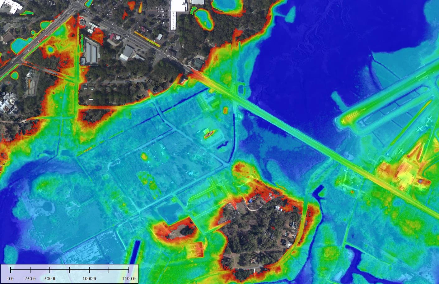
Lidar Services
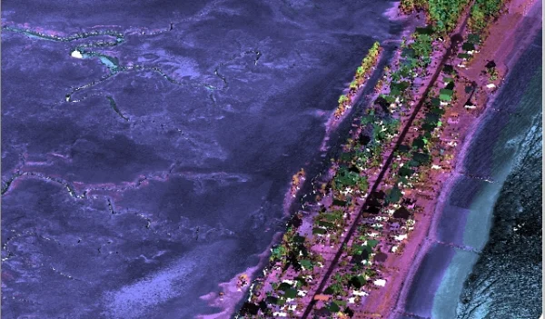
GSC has over 15 years direct experience using lidar topographic/bathymetric data to address coastal issues. This includes creation of custom Digital Elevation Models, development of breaklines and integrating additional remote sensing data with field collected data in a CAD/GIS environment. The ability to incorporate remote sensing data with traditional field data provides a cost-effective option to increase the breadth of findings while limiting resource intensive tasks.
Some of our services include:
- Custom Lidar Processing – bare earth and custom classification of mass point clouds
- Lidar QA/QC – third party review of data quality and accuracy
- Development of custom DEMs for user-defined modeling or analysis
- Lidar collection planning and statement of work generation
Lidar Projects
Featured


Geoscience performed a technical review of marsh migration models, the fundamental data sets and various parameters that drive model outputs.